After a half day, I checked my bag was all properly packed, and then, about 7 o’clock, set off by bus to Belper, to take train from there via Derby to Birmingham International. The ticket lady on the XC train from Derby to Birmingham New Street was most interested to hear of my forthcoming adventure, particularly with regard to the use of the Caledonian Sleeper out of Birmingham International. I got to New Street a little after 2100. We leave time for snafu when dealing with trains in the UK – they are just not reliable enough to cut things fine. In the end a delay of over half an hour leaving New Street meant I was not at Birmingham International until 2220 – the sleeper was at 2242. In it came, hauled by a VERY noisy class 92 locomotive. My berth was #9, right over the bogie, and this particular carriage was above-averagely noisy and bouncy. But I slept well enough.
At Aviemore I got down from the train.
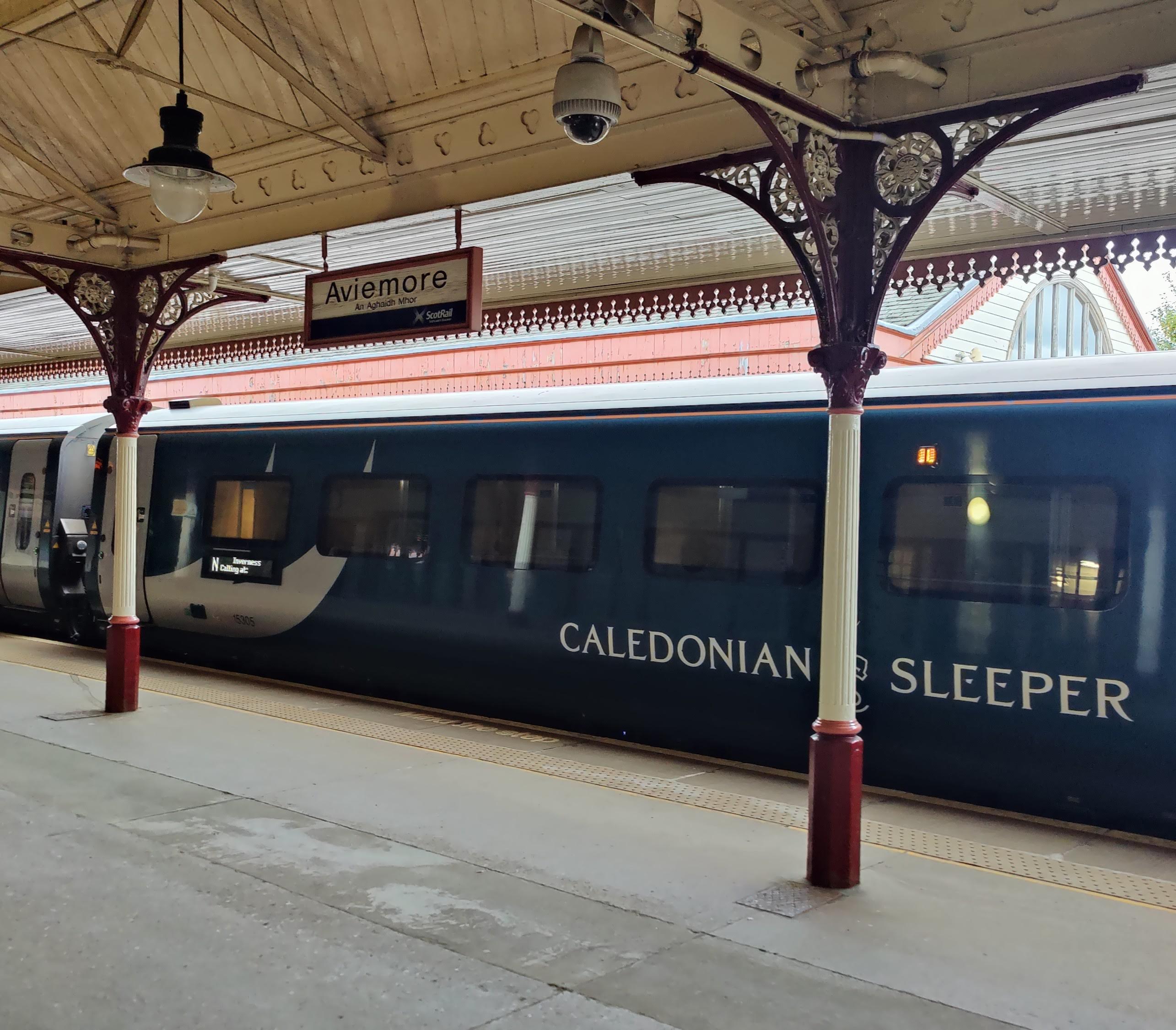
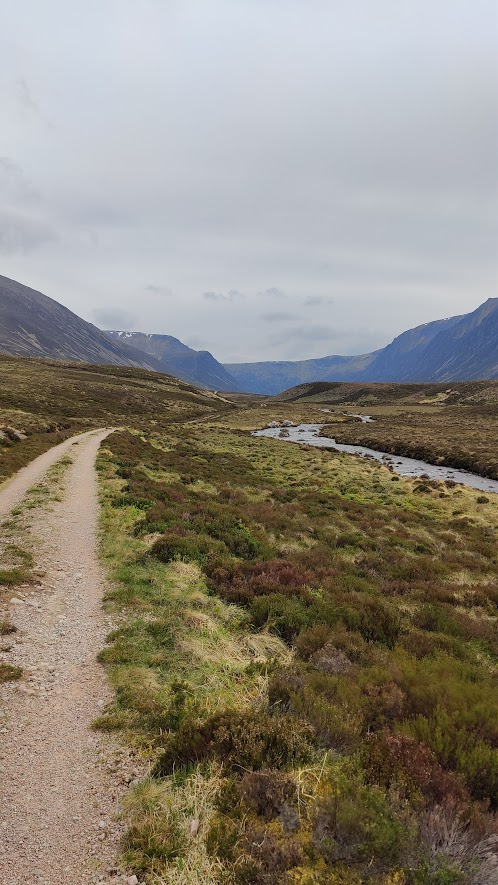
The very first thing I saw on the platform was a sign saying “No loitering” – on a railway station. The bus up the valley to Glenmore did not leave til 0919. I had a coffee and a rather poor heated pain-au-chocolate. The bus, to my surprise, was a big double-decker intercity bus. It roared off up the shiny road and deposited me at Glenmore, opposite the campsite, at not much after 1000 hrs. I set my devices – Garmin Inreach tracker, and Garmin Vivoactive 3 watch – and set off along a good metalled road. The forecast had not been great, and I had amended my route to reflect that, at the last minute, or rather, on Sunday night. My route took me along a gravelled road past Lochan Uaine (Green Lochan) towards Ryvoan. I turned right before reaching Ryvoan, trending roughly SE along a good gravel road. I overtook a party of three schoolgirls who said they were going to Strathnethy. At the footbridge at NJ 021104 the road forks and becomes two paths. The right-hand path trends south through Strath Nethy, over The Saddle and down to Loch Avon. The left-hand path toils up the shoulders of the munro Bynack More (1090m). I reached a fork in this path at about 1220 and feeling decidedly tired, decided to take lunch. The weather was improving. At this fork, the left-hand path goes over the shoulder of the fell and down into Coire Odhar, and from there down to the Fords of Avon. The right-hand path continues over Bynack More. I followed it up over the summit in warm, clear weather. But as I sat at the top, clouds were wisping across; the clag descended as I did.
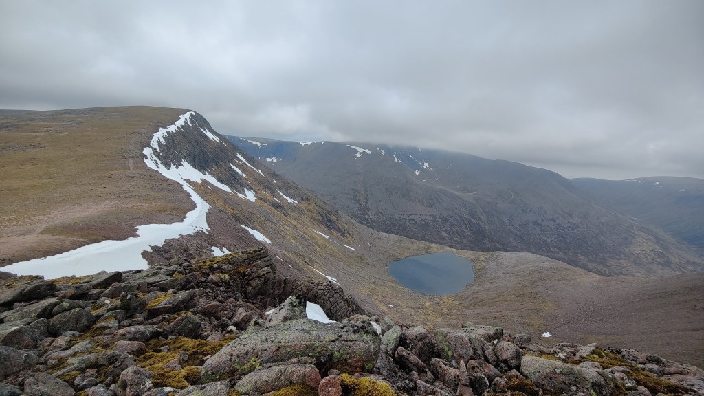
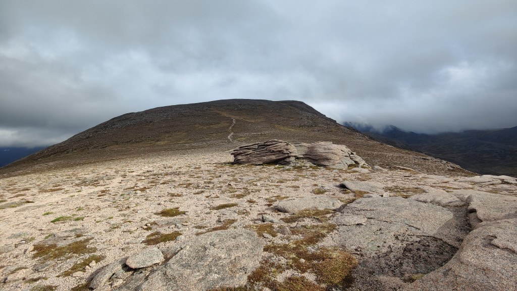
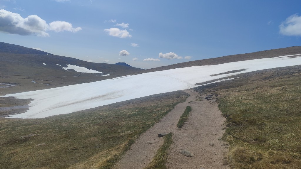
To keep clear of very steep ground and cliffs of the Leachd a Bhainne (“Milk Slabs”) on the eastern side of the mountain. I found it necessary to resort to compass work, and navigated my way out of potential difficulties using a combination of the compass and my GPS position as seen on my handset. I needed to contour along and cross a stream. I found the stream in the thick mist, and had then to climb a steep grassy hill out of its valley. A big relict snowfield stood nearby. About that time, a fighter aircraft roared overhead, though of course it not be seen. I continued through thick clag, over drab and alien stony ground that – as I have said before – seemed to resemble the surface of Mars or Venus. Keeping on the compass, I found I needed to turn again away from the direction I was inclined to go in – I was still heading too far south for safety, heading into steeper, less favourable ground. Learning to trust the compass is an object and important lesson in mountain craft. Given that it works properly, and that you know how to use it, the compass is pretty much always right. Normally I would say “trust your instinct” but in a straight disagreement between my instinct and a compass, I’d choose the compass every time.
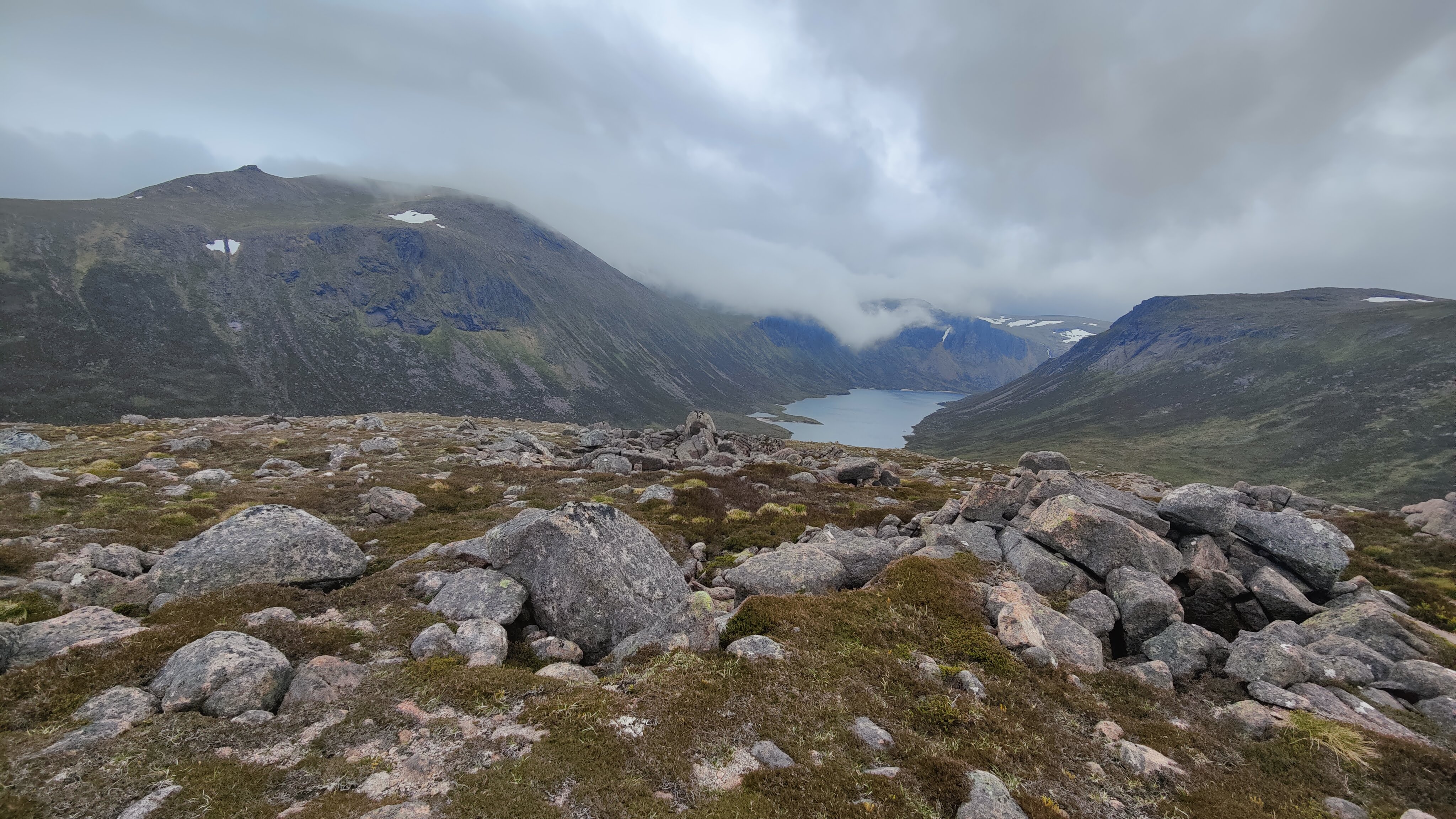
Loch Avon came into view – compass no longer required. Then, a long tread down to the lakeside, and then a longer walk still along the north shore of the lake itself, dour and grey in this lowering weather. The path, particularly towards the head of the Loch, was dreadful. The path weaved between boulders the size of cars, and there was mud, gaping holes and narrow gaps to squeeze through – difficulties for the tired older man hauling 18kg. I saw a fisherman and gave him greeting. A bit further along, another fisherman, standing on one of the delightful golden sandy beaches that adorn Loch Avon. Four weeks, he said they’d been here. I left them to it and camped out of their sight, following the path along the loch to the river mouth – three becks fall from the corries above, to form a substantial river flowing into the loch. Seven or eight square kilometres of mountain plateau at 1100m above sea level, drain into this river. The rock scenery here is absolutely stupendous, even in the clag and cloud. Until the building of the road up to the ski centre on Cairn Gorm, this was one of the wildest and remotest lochs in Britain. Even today, just to get where I pitched my tent would be a full day’s walk from a tarmac road, in any direction. Admittedly the Ski Centre car park is only 5km away – but that’s 5km as the crow flies, over 1200m mountains, cliffs and gullies, and the summit of Cairn Gorm itself.
I pitched my tent, and for supper: firstly, a nice hot cup of tea – with milk left over from the Sleeper. Then, some fresh Tortellini (chicken and proscutto) – three-quarters of a pack designed for two people. Some red wine, and for afters, some hot chocolate with added whisky.
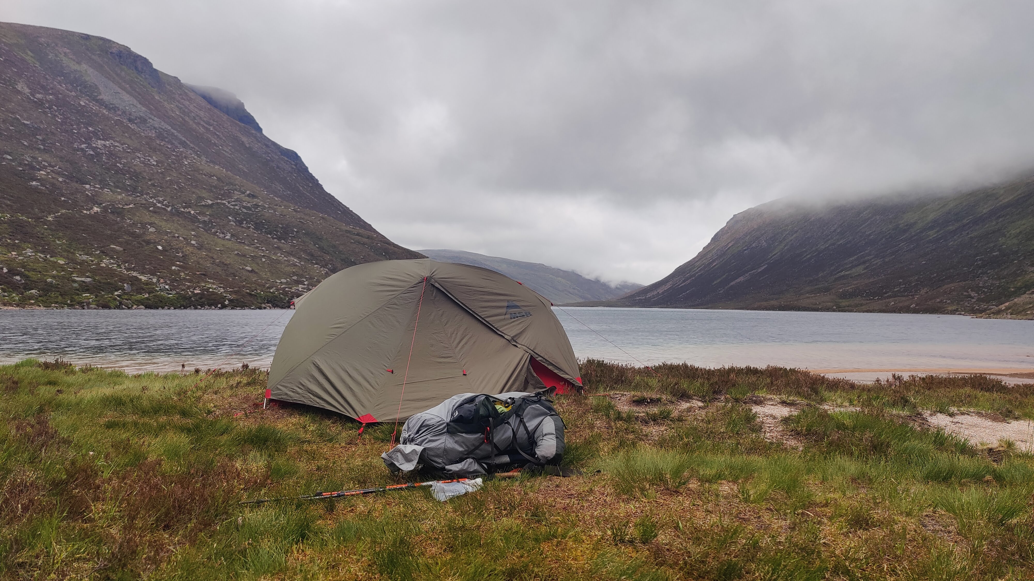
I slept well enough; so well in fact that I did not get up for walking until 0645 – quite late for a hill day even in summer. I figure two hours from waking up to setting off walking. There was some light cloud and clag and there had been intermittent rain during the night. I struck camp as for a “wet strike”, taking down the inner tent from the inside. I set off at 08:37, wearing waterproof overtrousers from the get-go. The path makes its way through the tremendous rocky scenery, up the hillside to Loch Etchachan. I reflected as I climbed that this was no place to fall over. It is a wild place. Mid-week in weather like this, someone else MIGHT come along this path today – in the opposite direction. Someone might come this way in the same direction as me, but not until late afternoon.
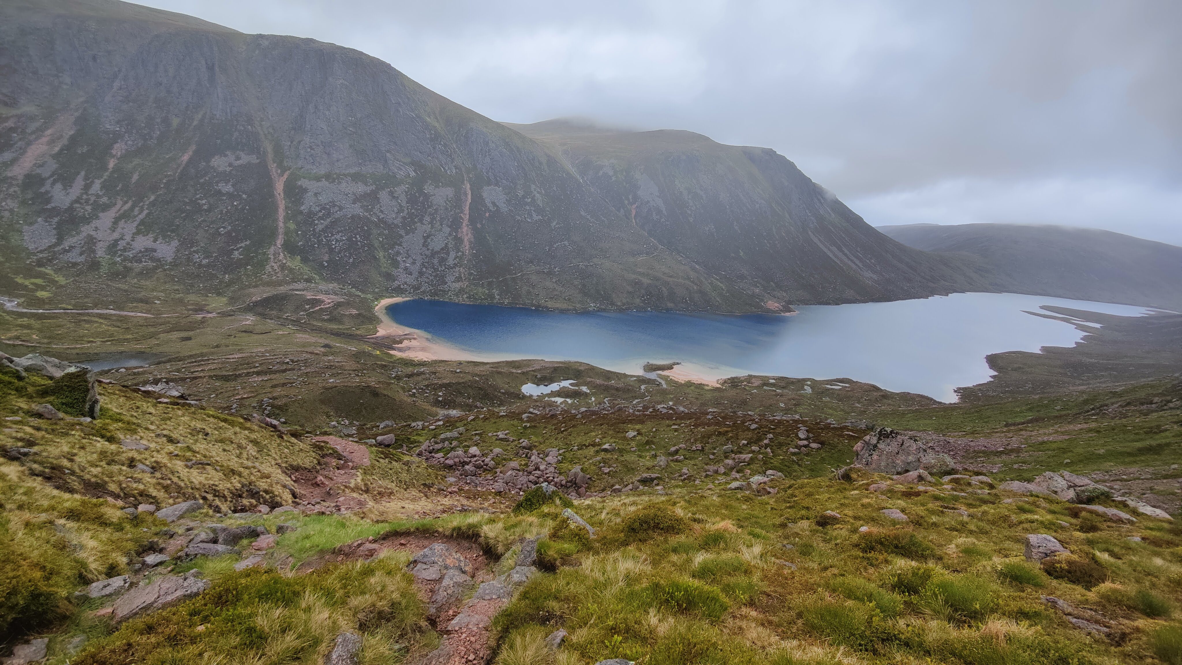
As I got to the top, really heavy rain began to fall. I even found my “after-market rain hood” and stuck that on my rucksack, where it stayed til lunchtime. For a while it rained quite heavily. Hood up, woolly hat, gloves, full protective gear on, I continued with the wild and grey Loch Etchachan on my right. I camped here in November 1990 with two friends. What were we thinking of? We knew nothing! At Etchachan there were brief gaps in the cloud; for a while there was even a band of wan sunshine briefly illuminating the rocky headwall behind the loch. Overall though the weather looked poor. I made the decision to “down and round” rather than pursue a high altitude programme. I could not be doing with messing around with a compass in the clouds for hours, with the rain in my face. Was it the wrong decision? I certainly regretted it several times later on given how the weather improved – but it was changeable and fickle, and this is the Cairngorms. I’m hiking alone in my early sixties, carrying 18kg, and the Cairngorms are grown-up mountains. This is not the Lake District. It is doubly true here that safe is better than sorry. That said, a fall in the Lakes will kill you or cripple you just as quickly as in the Highlands. The rucksack is the issue – once you lose your balance and fall over carrying an 18kg rucksack, you’re going down. There’s no second chance. This is not a clarion call to inaction; it is not a call to non-arms, a suggestion that one should remain indoors: that’s a fool’s creed. What is it is, is a call to thinking carefully, staying alert, and preparing oneself fully for any eventuality.
I descended slowly to Coire Etchachan, through both sunlight and showers. Far below, I could see the pristine white roof of the Hutchinson hut. Halfway down, I met a lady with a friendly Labrador, and passed the time of day with her – where was she going, where was I going? Etc. She must perforce have been out of the Hutchinson bothy, or at least have camped nearby. I thought to myself – but did not ask her – how do you feed a hungry Labrador on the mountain? I arrived at the Hutchinson hut at 1100 hrs and rested here a while – there was no hurry.
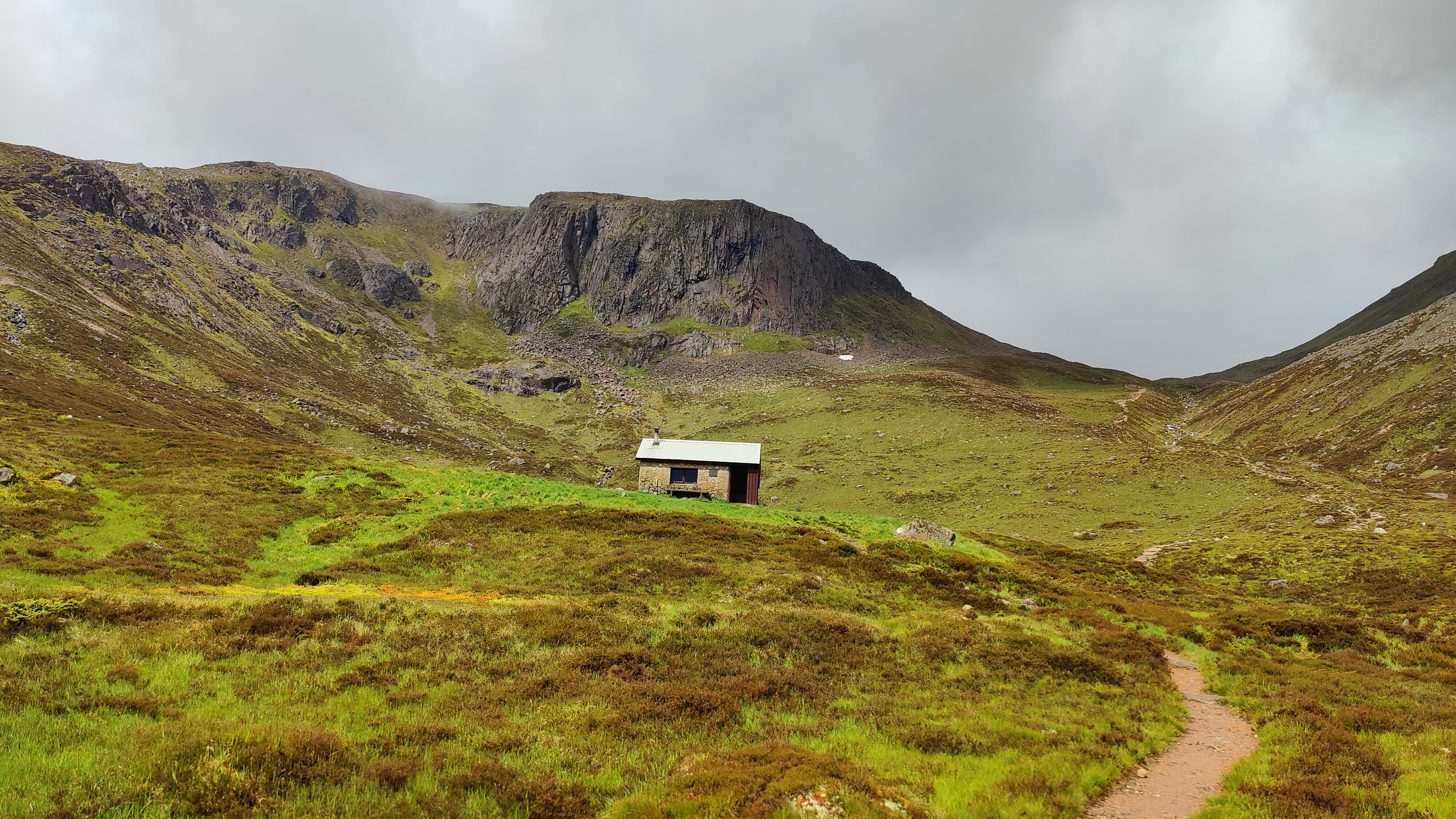
Then, onwards, down into Glen Derry in improving weather. I was at the fork with the main path through the glen at 1130, and stopped for lunch at a little after noon on the fringes of some ancient Scots Fir woodland. Two American hikers passed me as I took lunch, one wearing sandals. A bit after lunch, a party of three heading north passed me. Onwards through the warm afternoon, regretting my decision to come off the high tops, I continued down to Derry Lodge, arriving a little before 1500. Derry Lodge sits in an area of magical, scenic ancient woodland. I sat still near a fallen tree trunk, grey and dry (the tree trunk, not myself) and a red squirrel hopped past cautiously. Smaller, and a good deal less tame and more delicate of tread than their cocky grey cousins in England. I saw the American pair again, another pair of hikers, and a solo hiker.
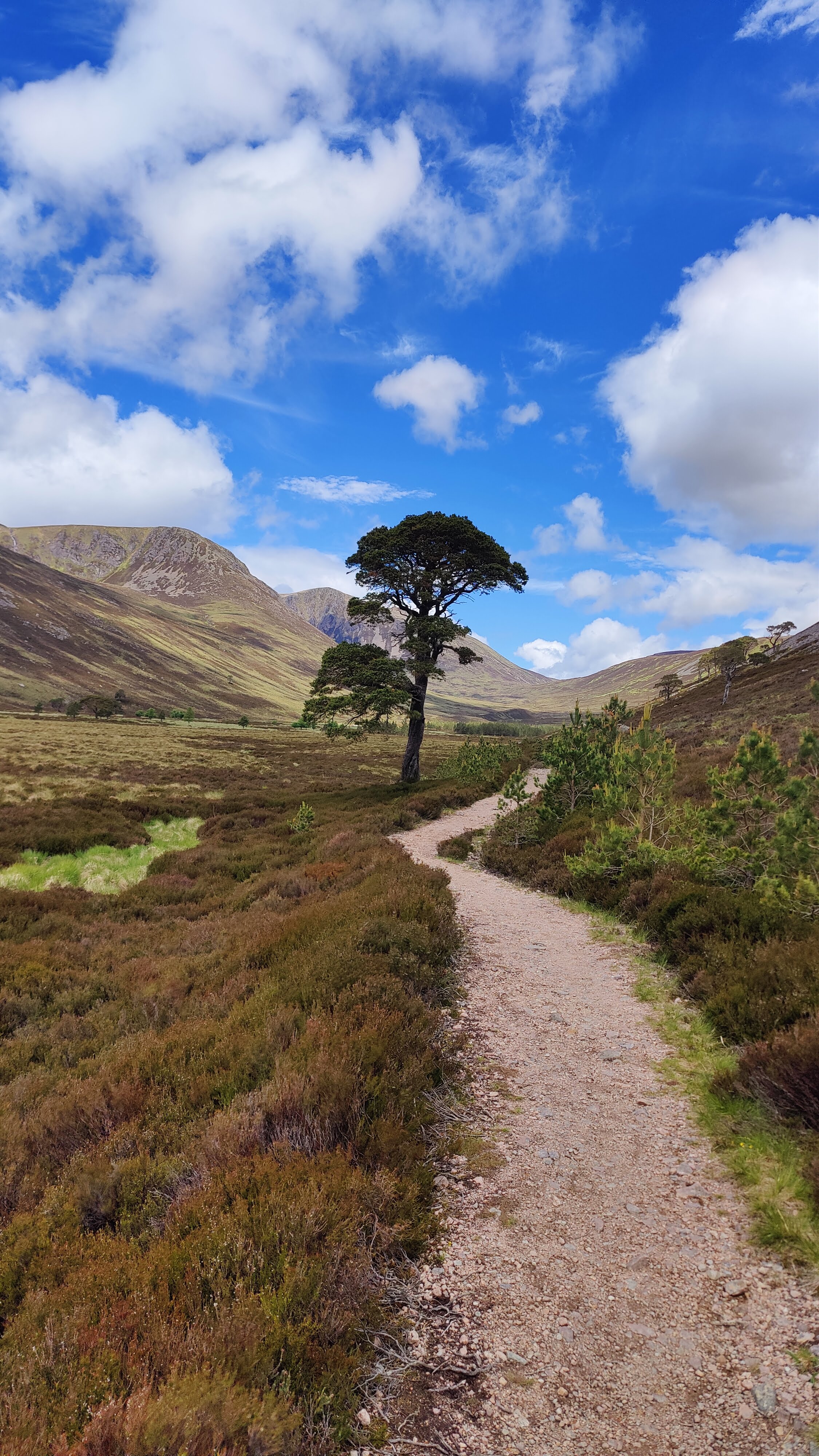
Thence, through the warm late afternoon over a good path, passable with care by a 4WD vehicle, towards Luibeg bridge. In good weather this is a delightful garden spot, an absolutely delightful dell, a magical tree-lined vale. It seemed to me that last time I was here, I was feeling very stressed out for some reason. This time, much better: I stopped and bathed my feet in the Lethe-like waters of the river. A couple passed me walking in the opposite direction. I used some voltarol on my right shoulder.
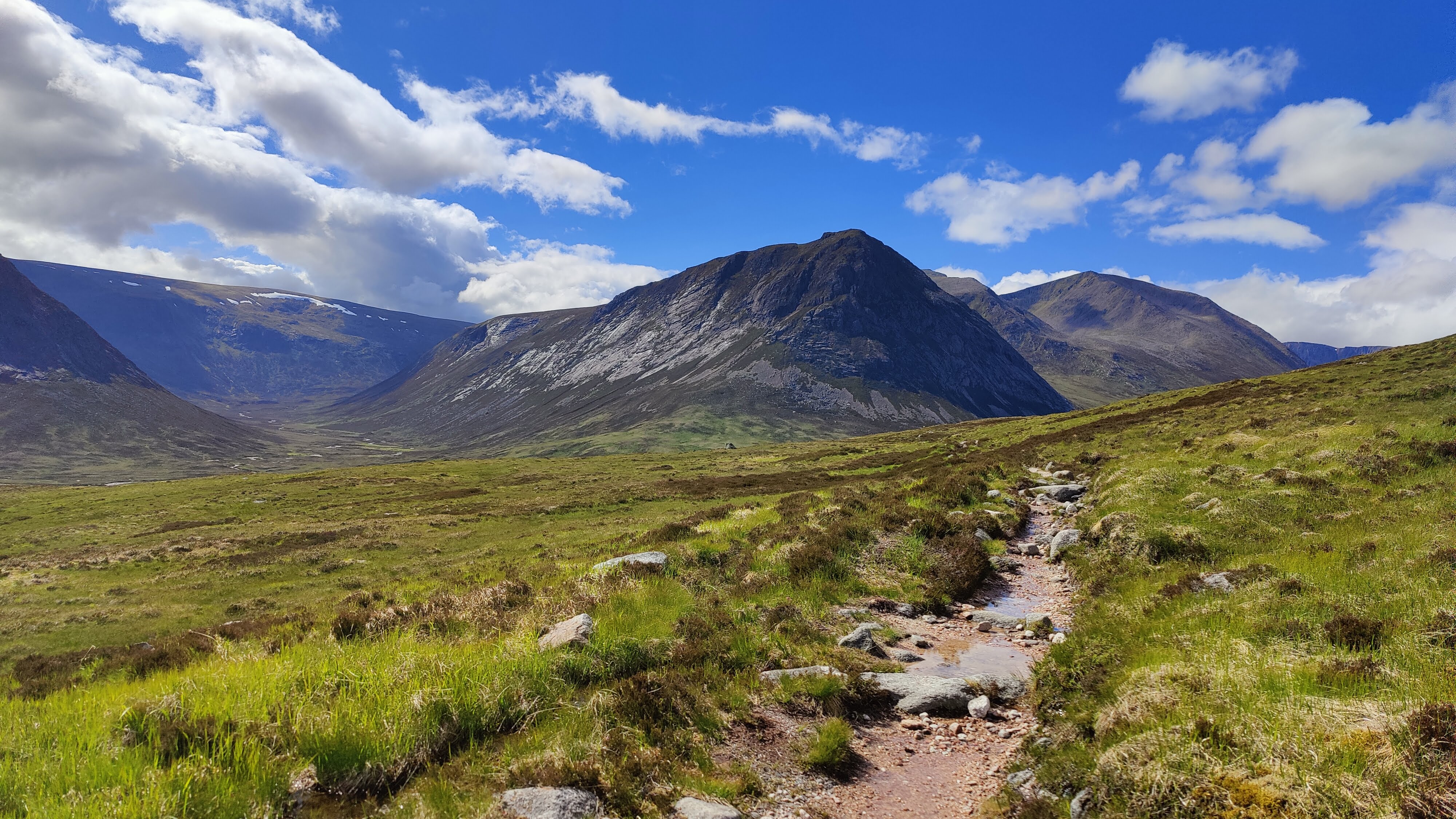
From Luibeg, it is a couple of hours walk over the shoulder of the hill to the Corrour bothy. As I walked in I could see Glen Guesachan ahead of me, where I had camped in 2021, and to its right, the towering ugly mountain called the Devil’s Point. I walked right into the hut and looked inside, so I could say I’d been in the Hutchinson hut and the Corrour bothy on the same day. There were two fellows inside; they welcomed me in but I preferred to camp – I had no plans to sleep in such a place. Grim indeed would be the weather before I should prefer a bothy to my tent.
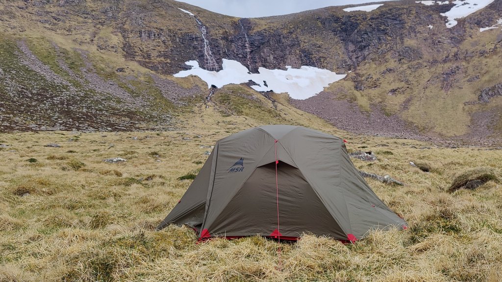
I retreated back to the river and actually camped within thirty yards of the bridge. A few moments later a party of schoolgirls arrived and made to camp on the other side of the river. This is a busy place; various people passed by, and the distant tinkling laughter of this group of young women was the background sound of my evening. My second night wild is always party night. I set my tent to my satisfaction, used more Voltarol on my right shoulder, and did some Paracetamol. Then a Nice Hot Cup of Tea. I prepared my usual Lentil dahl – some onion and garlic fried in butter, to which is added about 90g of red lentils, with spices (black pepper, salt, coriander, turmeric, garam masala) added at home. Take a cup of red wine once the tea is finished. Add water and bubble away for a while.
I’ve been using the Swedish Trangia stove for over forty years and have become inured to their shortcomings. One of those shortcomings, at least of the liquid fuel version, is that it has limited control – there is but one cooking speed, full blast. Too fast a boil for lentils, which need gentle simmering. An adjustable “simmer ring” to restrict the flame is provided, but placing and particularly removing, the simmer ring, is an art form. If you place it wrong, you can’t just fish around in the flame with your fingers – you have to use the rather clumsy clip handle provided to get the simmer ring out again – by which time it may be too hot to touch. Removing it is likewise tricky, and having removed it, one has to be careful that flames don’t shoot up suddenly, not ideal if you’re in the porch of your tent on a rainy night. A word on this clip handle: I’ve always known it referred to it as a “Bulldog”. One day sometime in the 1990’s a friend of mine went into a crowded mountaineering shop to buy a spare, having lost or mislaid his. He turned to the guy in the shop and said, “Have you got a spare Trangia bulldog?”. The guy behind the counter, known to be somewhat droll, replied quick as a flash, deadpan, on a busy Saturday afternoon, “I can do you a chihuahua”…
Whilst the lentils are simmering, take 90g of gram flour (with added salt and pepper) and add about 45g of olive oil and sufficient water to make a nice smooth batter. This is going to be a Farinata – chick pea pancake. It is prepared using the Trangia lid – itself a frying pan. It’s a bit hit and miss, for a Trangia stove in the wild is unlikely to be EXACTLY level, which means that the cooking oil will tend to run down one side of the batter, risking burning the other side.
Follow all this, after a decent interval, with hot chocolate to which a wee dram has been added. And so to bed – even before 9pm. It’s not dark – still broad daylight in fact, but it only gets properly dark for an hour or so in the small hours, at this latitude and this time of year.
This morning there was no sleeping much beyond 0600, but this was not a problem given the early hour I’d gone to bed. I had my Breakfast of Champions. This is more of a food blog than it is a mountaineering blog…Take half an onion and fry it in a little butter. Roughly chop up a handful of stale bread, and throw this in the pot with the onion. Slice up some chorizo sausage and fling this in too. A little of anything else to hand – a couple of chopped tomatoes, or some spinach, is nice. Fry all that lot up nice with perhaps a little bit too much butter, and at the last moment, add some cubes of cheese. Serve with hot, sweet black coffee.
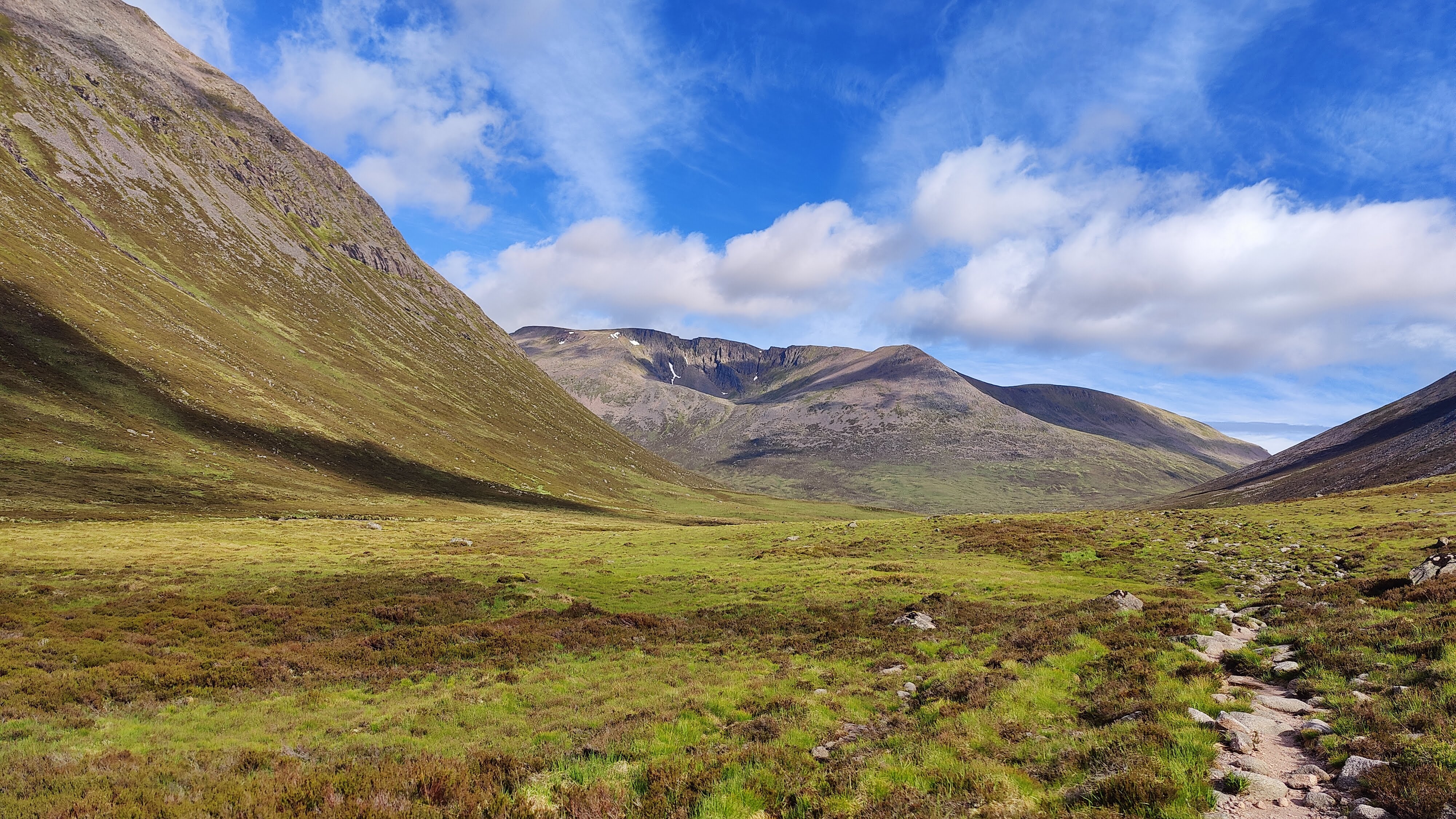
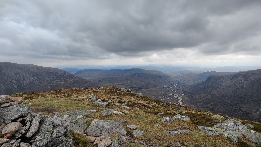
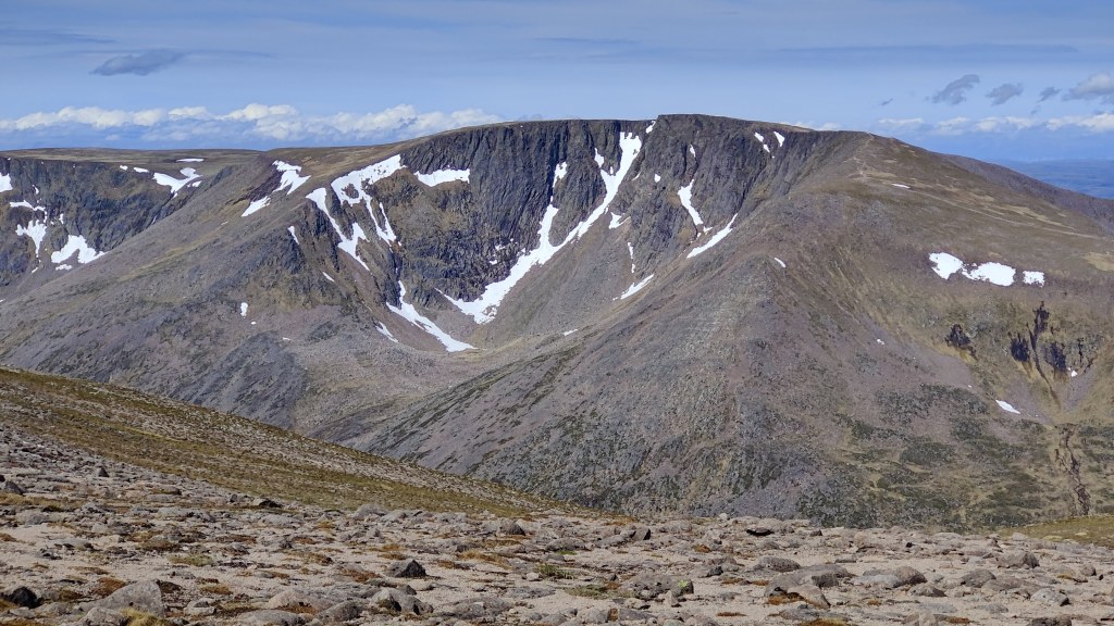
I set off at 0830, plugging directly up the Lairig Ghru, wearing gloves for the first half an hour or so. The skies were clear, and the western summits – Carn Toul, Angel’s Peak and then mighty Braeriach, became visible as I climbed up the pass. There were still significant snowfields in some of Braeriach’s gullies and corries, and along the cliff edge on the high tops. On the way one passes the Pools of Dee – delightful little tarns – and has to cross several boulder fields. I don’t like boulder fields; I certainly don’t like boulder fields as an older man hiking alone in wild places, carrying 18kg. I edge my way across them most carefully. I reached the top a bout 1100. Once onto the Spey side of the pass, the river disappears completely underground. There must have been a tremendous landslip sometime towards the end of the ice ages, probably before these islands were even inhabited. One descends, high up on the right or western side of the valley, descending to a place where, with a great rushing noise, the infant Spey reappears from boulders and cliffs. Here, at noon, I took lunch.
I’d walked 10km from the Corrour bothy to here and never saw a soul, and nor could I have, given the geography. There was no-one behind me capable of catching up with me, and no-one would be coming south through the Lairig Ghru much before mid-late afternoon. But within five minutes of sitting down for my snap, I was passed by almost a dozen people. You could see them all in a line, descending into the Lairig Ghru on the path from the Chalamain Gap, all clearly off the first bus to the Cairngorm ski centre, which arrived about 1000. All of human life though, was on the mountain. The walk from the car park through the Gap is no picnic, but from right here in the Lairig Ghru, it is four hours walk just to Corrour, and that just a mean bothy; the roadhead at Linn of Dee is another 4 hours walk beyond that. I didn’t see many big rucsacs; I saw people with little knapsacks, wearing trainers. What are these people thinking of?
On the stairs up towards the Gap, more hikers including schoolboys. An older man was at the back; I passed the time of day with him, as he was clearly responsible for several parties of youngsters on the hill. Did you, he asked, encounter a party of girls last evening at Corrour? I replied that I had – thus reassured, he went on his way.
The Chalamain Gap is a strange eldritch place, particularly if one goes through it alone. It is – to borrow text from www.walkhighlands.com, “a dramatic glacial meltwater channel, renowned for its floor filled with vast, house-sized boulders. Located between the Sugar Bowl and the Lairig Ghru, it requires a physical scramble across uneven rocks and serves as a popular, rugged hiking route”.
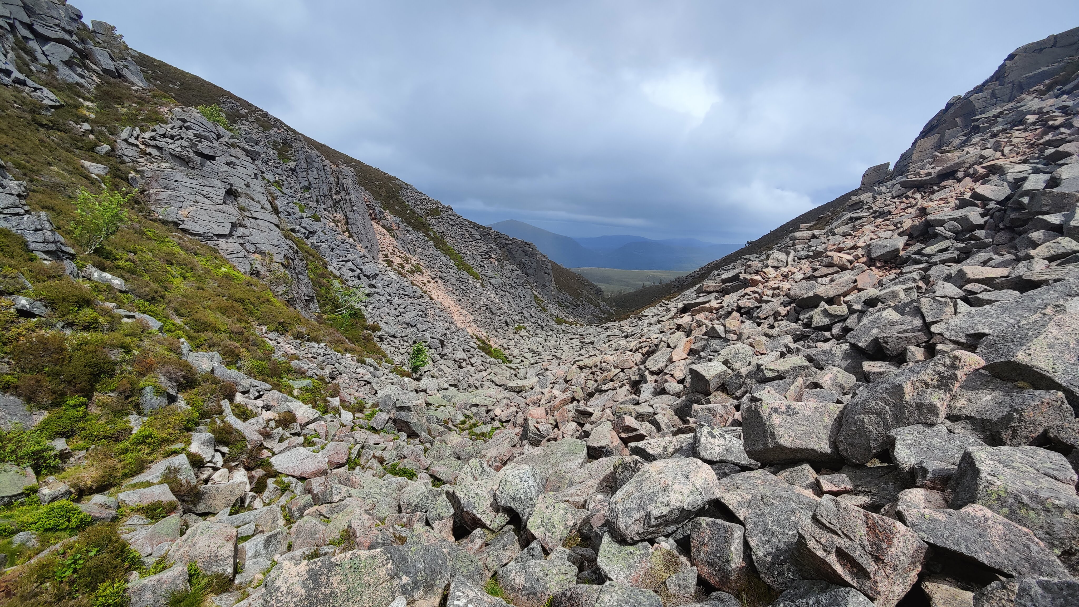
Navigating the boulders, with a big bag, is particularly tricky. For a time I had to put away my trail poles. After the Gap, there is a good path winding over the moor, but for a time it became very, very windy. In the distance one can see the ski centre, and the road, and the yellow bus winding its way along. Down into the valley to cross a bridge, and up again to the Sugar Bowl car park. From there, after a suitable break, I tramped slowly and painfully down the tarmac road to Glenmore, a walk of forty minutes or so, and my hike was done.
Day 1: 19.07km, 7 hr 29 minutes from Glenmore to Loch Avon via Ryvoan and Bynack More
Day 2: 19.78km, 8 hrs 8 minutes from Loch Avon to Corrour via Derry Lodge
Day 3: 18.3km, 6 hrs 31 minutes, from Corrour to Glenmore via the Lairig Ghru and the Chalamain Gap.
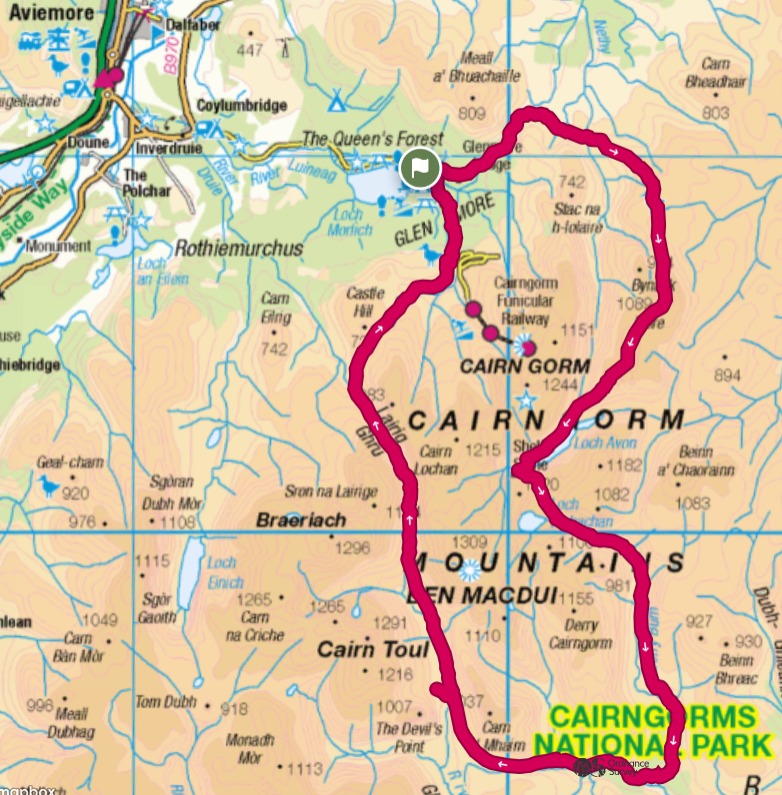
After my hike I stayed at the excellent Glenmore campsite, which cost £17. Good hot shower facilities, soft, flat ground on which to pitch a tent. I crossed the road to the SYHA, a large white detached house on the other side of the road, and for £26 bought me a very fine three course supper: Haggis bites, a very superior burger with great chips, and a Tiramisu, all washed down with a bottle of Cairngorm Breweries “Stag” ale. A bizarre ambience prevails in the modern youth hostel. There is a combination of the old and the new. First rate food is often available; they are generally licensed and drinking alcohol is permitted, but restaurant food may be served in a canteen atmosphere, and one has to take one’s cutlery and plate away afterwards. Doing chores is no longer required…
The next day I returned to Aviemore by bus in bright sunshine, and travelled across Scotland to Motherwell to visit a friend. And the rain came down.